For the last three weeks the weather has been dry and warm. Or more to the point, the weather has
broken a number of records for the warmest late August ever recorded, just as those miserable months of
May and June broke all the records for the lousiest spring since records began.
And September is continuing to be extremely warm and dry. To offset for the bad weather during my spring
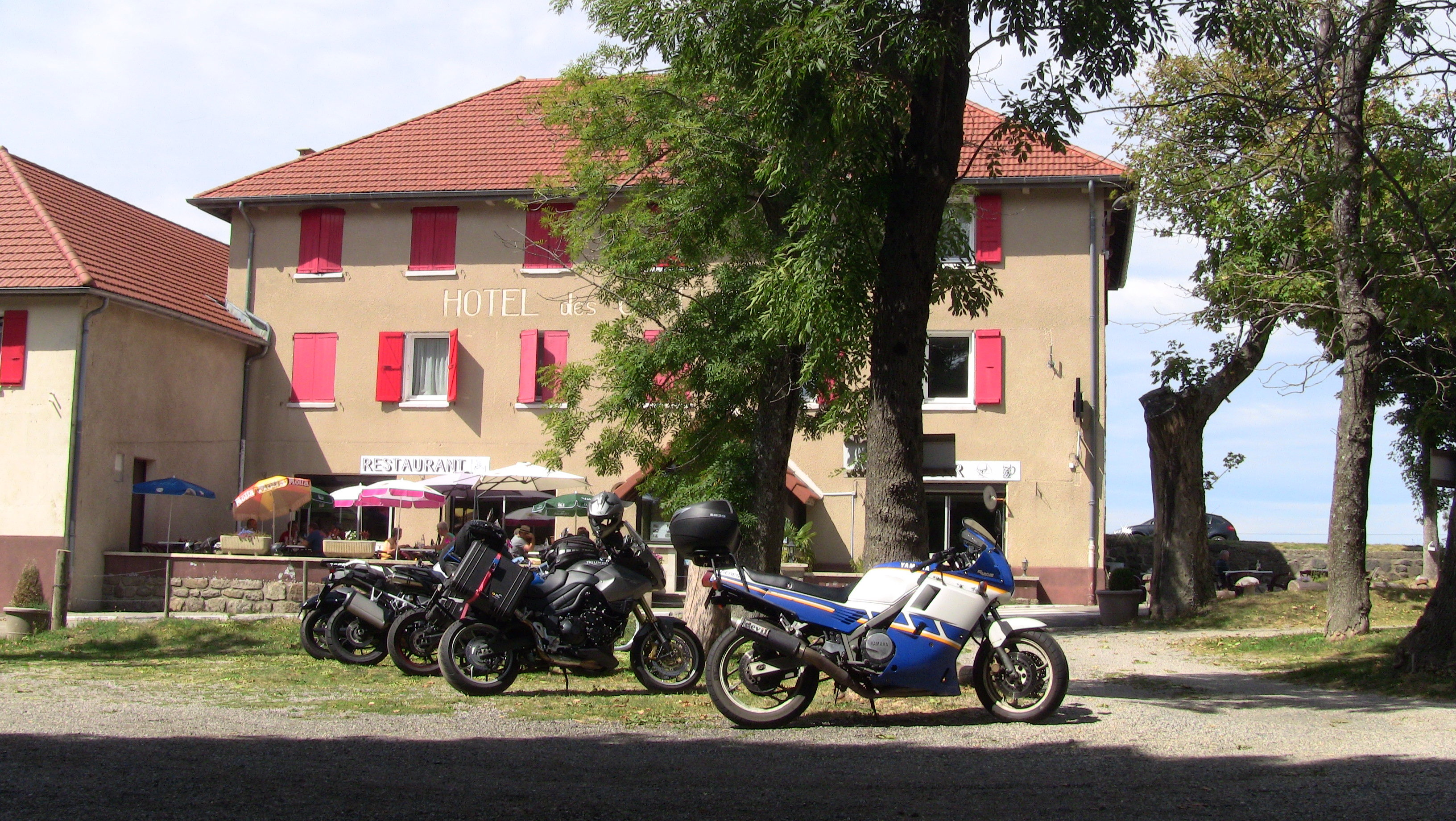
vacation I have decided to give Tigger another chance to gather some mileage, so just after 8 am on this
hot Saturday morning I set out for my new ride. It will be another scorcher today, and temperatures in the French
Rhône valley are supposed to reach 35 degrees
Celsius this afternoon.
Most of my readers know that I don't take the Alps too serious anymore - at least not since I biked at over 4300
metres through the Rocky Mountains.
The Alps are far too overcrowded and the passes are not high enough. But on a
day like this and it being rather late in the season I make an exception and head for the
Valais canton via the usual passes -
Klausen,
Susten and
Grimsel. Klausen is a nice ride as I arrive there
before 9 am, but the other two are already firmly
in the grips of droves of pushbikers as well as small, underpowered and soot-emitting Dutch diesel cars pulling giant
caravans at 20 mph up the mountains, but at least it is nice and cool up here.
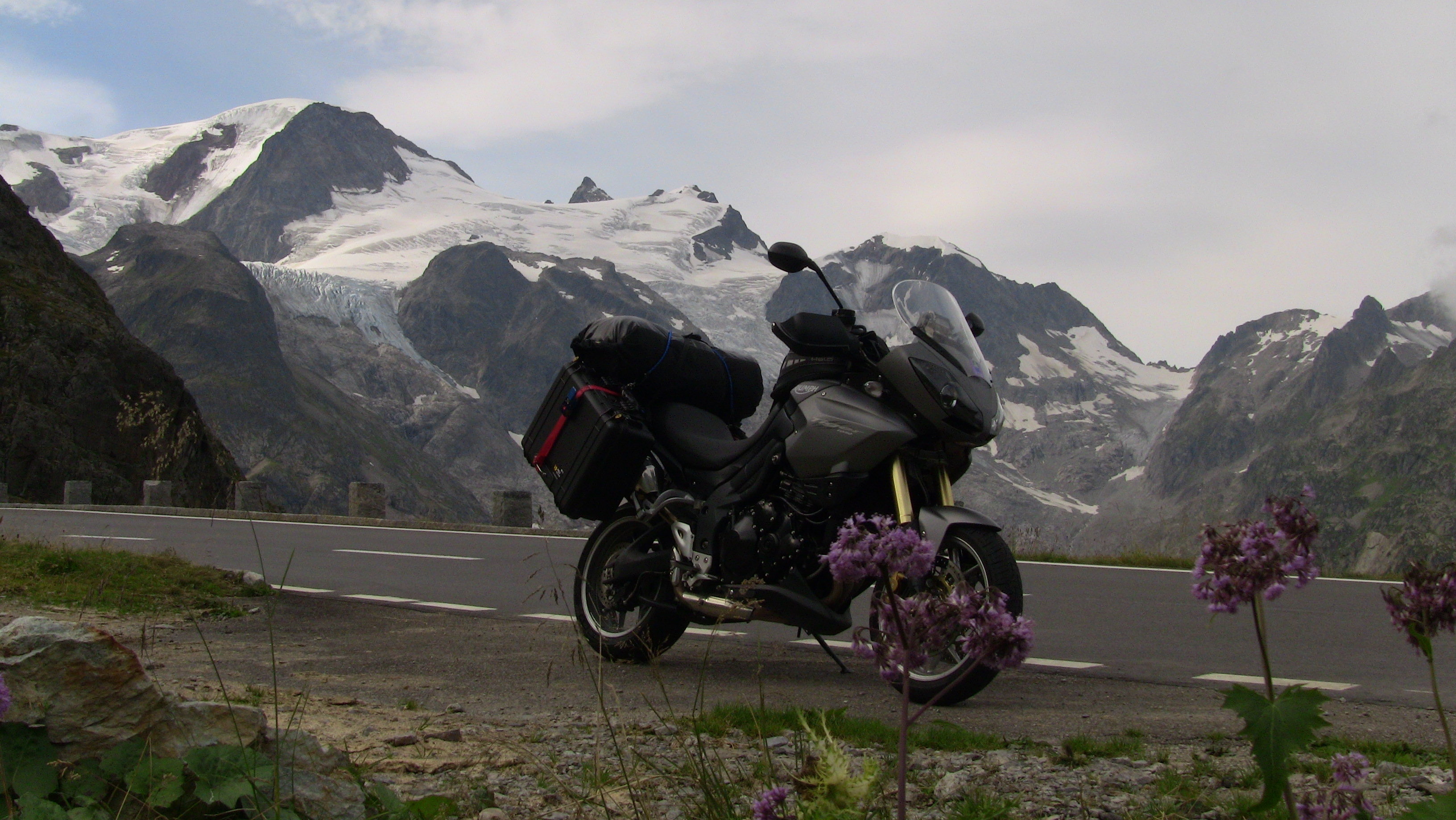
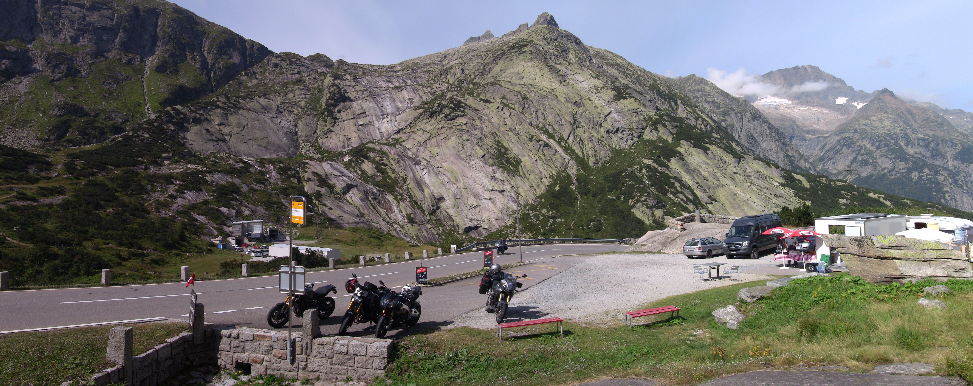
Above is a picture of the Stein glacier which I passed this morning when traversing the Susten pass. By 1 pm I am in the Valais. Here is a picture of my lunchbreak on the Grimsel pass:
The road from the Grimsel pass leads lower and lower into the valley and by the time I reach Martigny it is 31 degrees. I then continue into France via the Col de la Forclaz. After 470 km, most of it through the mountains, I call it a day at Montmélian in the Savoie department. The day ends with a decent french dinner - quite a nice start into this journey.
There is a cold front heading for my whereabouts. Here in the mountains it will bring thunderstorms and other unpleasant
things. But further to the west the front simply fizzles out and just brings some cloud cover. So I have to head westwards
for another day, then I can turn north into that cooler air coming in from the north.
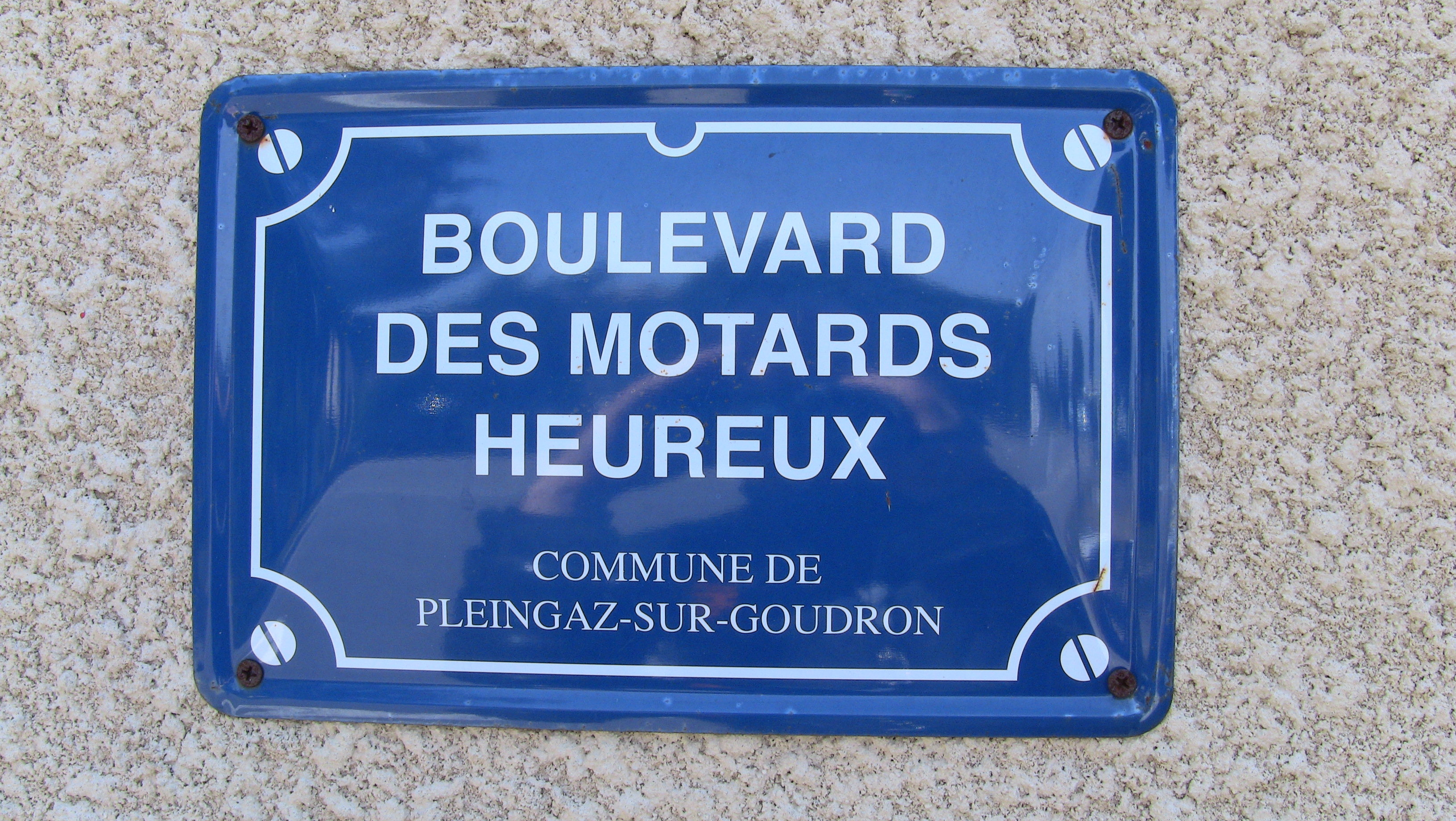
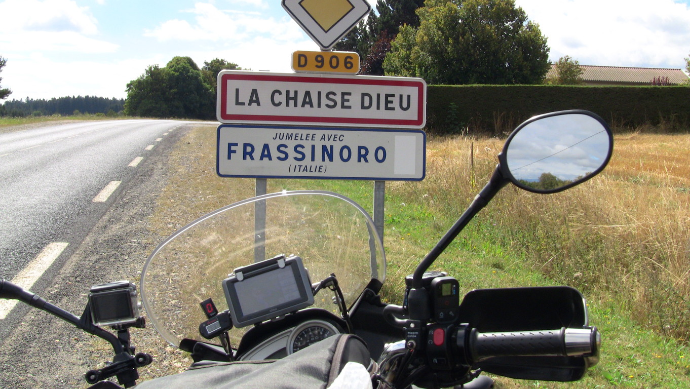
But today will be another warm day, as the front won't arrive before late this evening. So again I set out early at 0800 hours
to make the best of the cool morning air. The road is fantastic and this sign certainly tells how I feel out here:
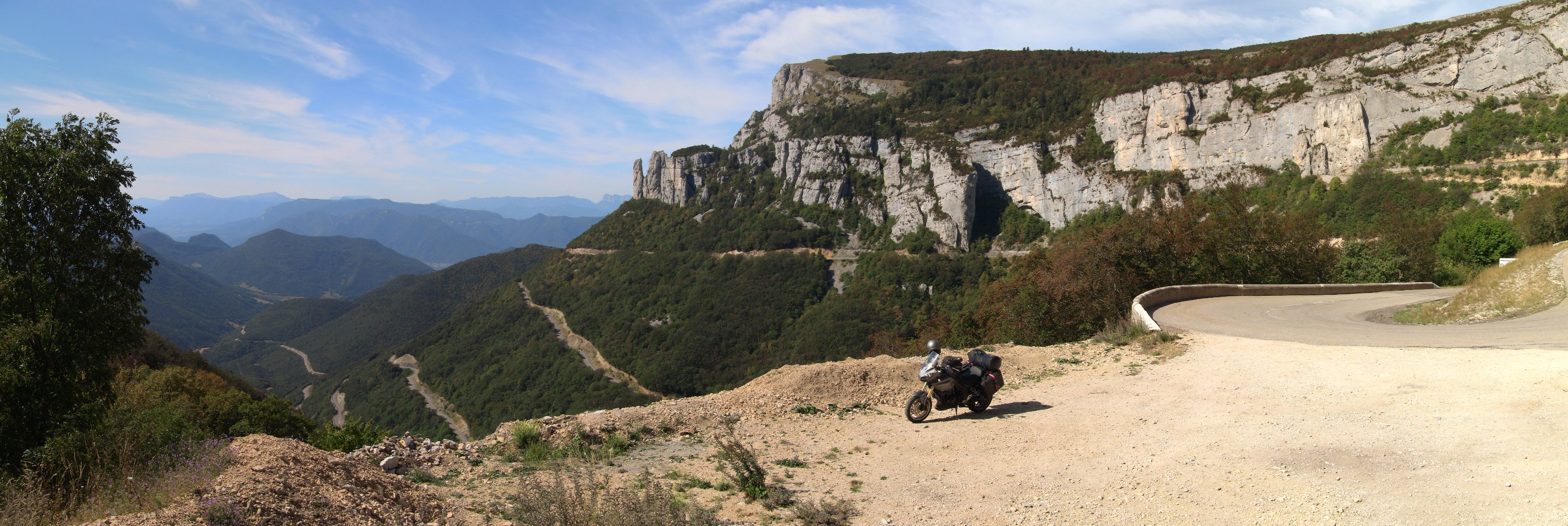
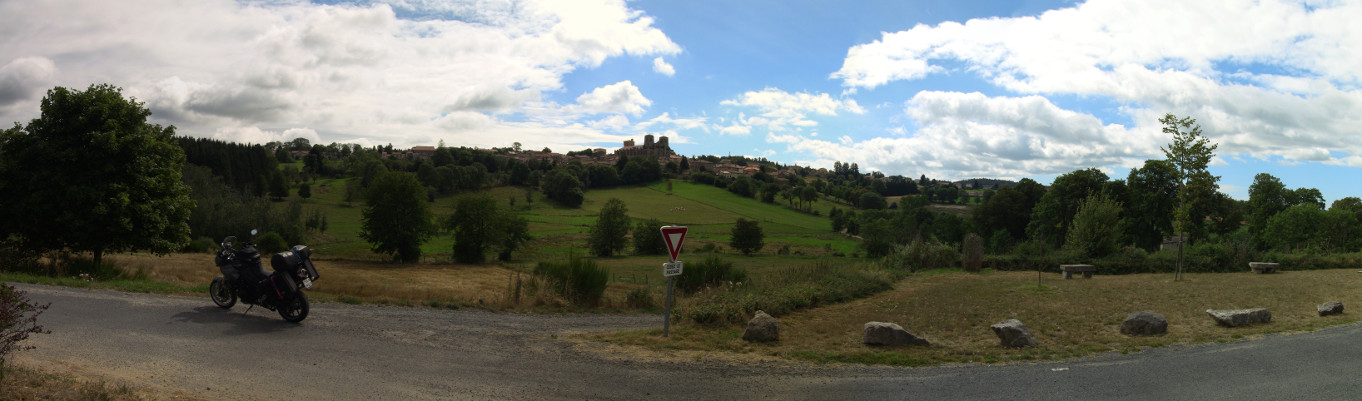
I first head south-west through the easternmost parts of the French Alps, but by noon I have to traverse the lowlands of the Rhône valley south of Valence - and even before 1200 hours the mercury easily reaches 31 degrees here at less than 100 metres above sea level. But on the far side of that valley the mountains of the Ardèche appear - I have reached the Massif Central. Here is a panoramic impression of where I am biking today:
This part of the Massif Central is one of my favourites, the Margeride. Basically this vast stretch of land is nearly devoid of population and mostly between 800 and 1300 metres above sea. This is the loneliest place in all of France, though one still finds the odd place for a brief coffee break:
The day ends after another 470 km on minor backwater roads in the town of
St. Flour in the
Cantal department. The first hotel I come along is on the
A75 motorway and fully booked. However, I know my Frenchies, they won't go far from the motorway when looking for digs while
travelling,
and yes, nine kilometres down the road at St. Flour the hotels in town all have plenty of rooms, but only the third one
I check on is in
a quiet part of the town. The hotel's restaurant is closed, and so are most other eating places in town on this Sunday
evening, but I find a spectacularly good pizza place right in the town centre. Not a three course gourmet meal, but
very tasty indeed and much better than any pizza place I have back home - only the Cantalou accent of the waitress is so
pronounced that I find it quite difficult to understand her.
I watch the sky slowly clouding over while having my meal - the cold front is coming, but Tigger is already inside the hotel
garage just in case some rain might fall tonight.
The French weather forecast predicts rain in the North and temperatures around 28 to 29 degrees. I have no idea who put
what into these guys coffee, but from what I can see that forecast is total nonsense. Instead we'll have a cloudy sky, no
rain and temperatures of about 22 to 23 degrees.
This morning there is no need for a very early start - the cool air after the cold front should see to that. The hotel
starts serving breakfast at 0800 hours, so it is after 10 am before I set out northwards though the densely forested
area between Clermont-Ferrand and
Lyon. Here is an impression of what the
countryside out here looks like:
The temperature is absolutely ideal right from the beginning and as expected the temperature never rises above 23 degrees all day. At times riding my bike today feels like I am sitting on:
While heading towards Nevers some dark clouds ahead don't look to good, so I divert eastwards near Moulins before turning north again a few miles on. Soon it is after 1700 hours and time to look for accommodation again - after hardly 400 kilometres. Saint-Honoré-les-Bains is a few miles south and has a multitude of hotels on offer. It being a spa town also means that usually there are no noisy teenagers painting the town red during the night, so a good rest is assured. I ride through the town and have a look at all the places on offer and finally decide to go for a small "Auberge" a bit outside of the town centre. The day ends with a fine five-course diner - what a great day this was.
It remained overcast last night - which is a good thing as the cloud cover ensured that it is already 18 degrees at 0700
hours this morning. Unfortunately the air reached its
dew-point during the night - there is a low fog about and everything
(including Tigger) is dripping wet. However, the sun is busy burning holes into the fog, so there is no need to linger on.
By 0830 hours I am on the road. The first 100 km lead me through the
Morvan Natural Park, which is slow
going but great fun.
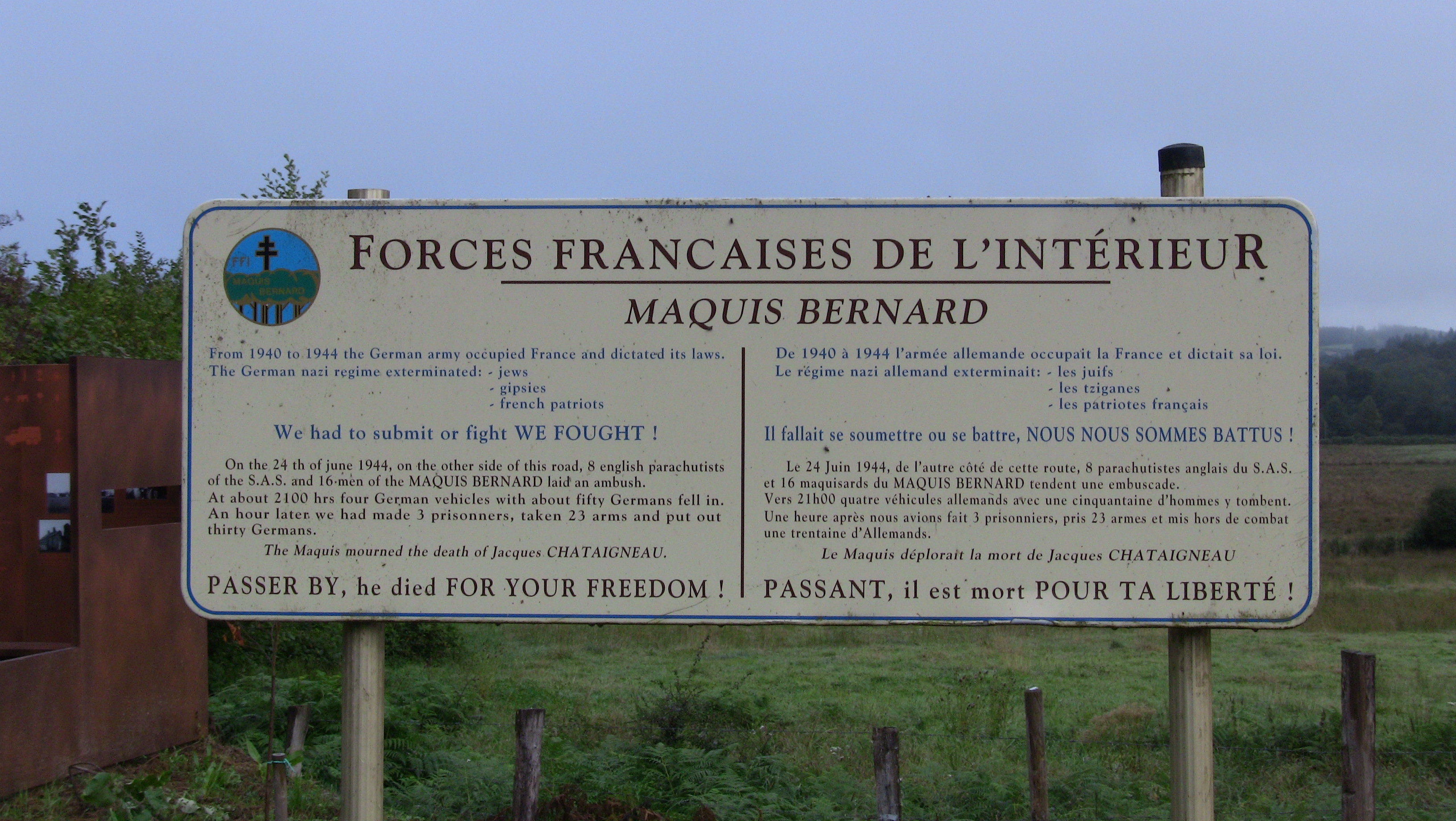
During World War II the Germans behaved like the proverbial Elephant in the China Shop in France, and memorials like this
one are found in many rural areas:
Once I am out of the National Park the ride continues through the Champagne-Ardenne. Fast roads make up for the slow progress earlier on. However, there aren't many scenic views to take pictures, so all I have is this picture of the village of Busson in the Haute-Marne department:

I am very pleased with the route I have chosen through the Champagne; I make it through the entire ride today without
encountering a single war cemetery - that's quite a task, given the millions that lie buried in Flanders soil.
Soon the German border is reached. I ride on for another hour and end the day at
Weiskirchen in the
Saarland province after
another 470 km and a solid nine hours on the bike.
Another day with an immaculate blue sky awaits me this morning when I set out at 0900 hours. I am heading through the Hunsrück and Taunus hills eastwards. Progress however is exceptionally slow and the only picture I took all day was this one from the Bingen Rhine ferry:
When the Federal Republic of Germany ("the Fourth Reich") was founded in 1949, far too much power was given to the
individual federal states that make up the federation, a kind of "birth defect" of the new country. This was a kind of relic
from the olden days when Germany was a
conglomerate of individual fiefdoms. The German road system as a result is divided into three types; "federal" highways
and Autobahns, the upkeep of which is the responsibility of the Federal government. "State" roads however are for
the respective federal states to upkeep. And finally the local county roads, which, you've guessed it, are the responsibility of the
local counties.
This three-way split worked fine as long as everyone had the money to keep up their bit of the road system. When the cost of the
re-unification came together with the credit crunch it should not surprise anyone that the local counties ran out of funds
first. Their solution; discontinue any refurbishment work of local roads and just patch up the worst potholes in the cheapest way
possible. Soon plenty of local roads in Germany looked worse than the day
Bomber Harris was done with them.
The federal states followed soon afterwards and by 2010 you could mistake some areas of Germany for a third world Banana Republic.
Lawsuits by motorists followed who sued state or county for damage to their vehicles caused by the abominable road
conditions. The counties and federal states reacted to this by imposing often utterly ludicrous speed restrictions. I
have seen places where
the speed limit has been reduced to 10 kph (6 miles per hour) due to the bad road condition.
Riding along formerly immaculate country roads where the usual speed limit (100 kph/62 mph) has been halved for miles and miles
on end is no fun on a motorbike, I tell you, especially not if your bike is at the same time being shaken to bits by the
potholes.
The final blow came with the introduction of a toll for heavy trucks on motorways, introduced at about the same time. This
hare-brained scheme had the predictable consequence of sending those heavy trucks from the Autobahns onto those federal
highways that were still in reasonable nick - and toll-free.
It seems that at the same time as the once exemplary German road system went down the toilet, the Germans as such have quite obviously and completely lost the plot in numerous other disciplines; their once proud car manufacturer Volkswagen has been found to be a bunch of criminals causing illegal pollution and mass deaths on a planetary scale , the German trains no longer run on time and the nations ability to run any project on schedule and on budget seems to have disappeared into thin air (you can check on that statement here , here or here). I suppose all engineers, project managers and most definitely all politicians worth their salt have long left the country and work abroad these days.
To be fair, the road maintenance problem has been identified (albeit with two decades delay) and massive road improvements are under way, resulting in countless road closures and extra delays.
So this little excursion into the real Germany in 2016 hopefully helps to explain why after seven solid hours of biking (I only ever stopped for fuel) I finish the first stretch of my GPS route - 320 kilometres. The road closures however mean that 320 km of GPS routing had me riding over 370 km on the road. One closure of a one-mile strip of road near the town of Burgsinn required a 38 km detour - luckily through some very charming countryside, but that was certainly the exception to the rule. The "loss" on any stretch of country road in Germany therefore is about 15% of the total distance covered.
But all is not lost, as there is a reason why I am heading east; one of those federal states has escaped most of the mayhem outlined above; the state of Bavaria. So when I arrive there at 1700 hours (empty roads smooth as baby skin, at last) I call it a day at the town of Diebach at a fine hotel. Sure, the employees wear "Dirndl" (I suppose the foreign tourists demand that in Bavaria) and there is a Crucifix in every room (Bavarians are in general as catholic as the Irish), but I'm happy to put up with that in exchange for a few other German virtues apparently being lost outside Bavaria for quite a while now.
Another morning with deep blue skies and optimal temperatures for motorbiking awaits me - in fact since I started
this voyage I never
yet had to put on any extra clothing against any colder air or felt uncomfortable due to excessive heat. This must be the
best motorbike weather we had in years in my part of the world.
I am off late at 0930 this morning. Two miles into the trip I hit
Hammelburg - not only is the main road through the
village closed for refurbishment, another 500 yards on the bridge over the
Saale river is also closed for replacement as well. I
will however not take back what I said about Bavarian roads yesterday, and here in Hammelburg they have a local
diversion for both construction sites and I just lose two minutes of time.
To prove to you that what I said about the roads here in Bavaria is true I have compiled a small video for you from
today's capture of my dashcam:
As you can see, the roads are fast, good and empty - just what the doctor ordered. Soon I reach the end of those 220 km of route I originally intended for yesterday afternoon near Marktredwitz. However, shortly before arriving there they have closed off the federal highway B303 for roadworks - in UK terms that's the equivalent of closing down the A303 somewhere in Somerset...
I am also about to run out of Bavaria; for the next 100 km I ride through the
Czech Republic instead between the cities of
Cheb and
Karlovy Vary. Just when the afternoon
temperature is about to hit 30 degrees the road winds upwards into the
Ore Mountains. At
1000 metres above sea the temperature is back to 22 degrees and I continue along the Czech-German border through these
highly attractive mountain roads - the roads here in the former East-Germany (I am in the state of
Saxony) are very good, too.
I end the day after highly enjoyable 420 km of winding country roads in the hamlet of
Holzhau.
The weather forecast is looking very optimistic for the next few days again...
I am less than two kilometres away from the hotel this morning when I run into the first road closure, requiring
a 25 km diversion to get back on track. However, the ride through the Ore Mountains is good fun, with me riding
sometimes on the German and sometimes on the Czech side of the border. However, there are tell-tale signs that
the good weather is coming to an end; huge storm clouds are forming over the mountains by noon, so it is high time
to get out of there.
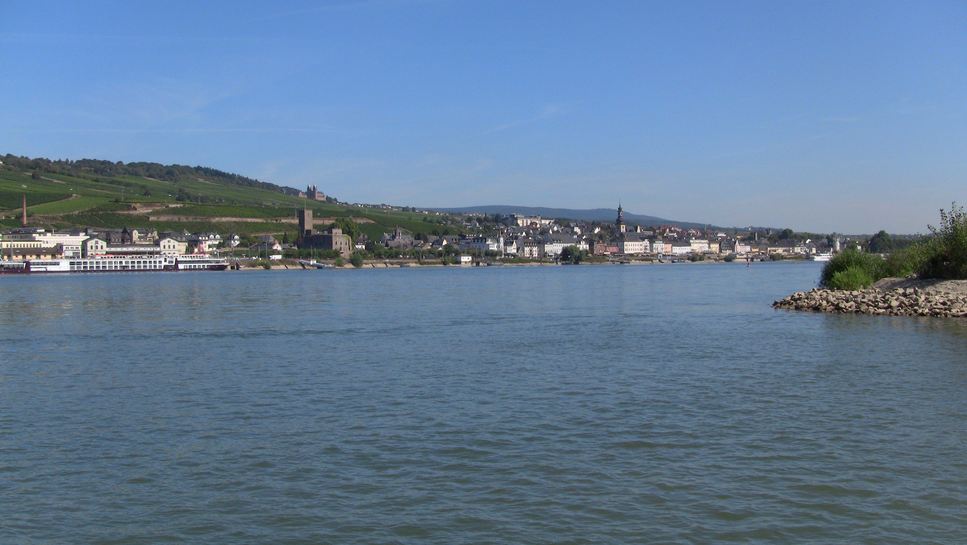
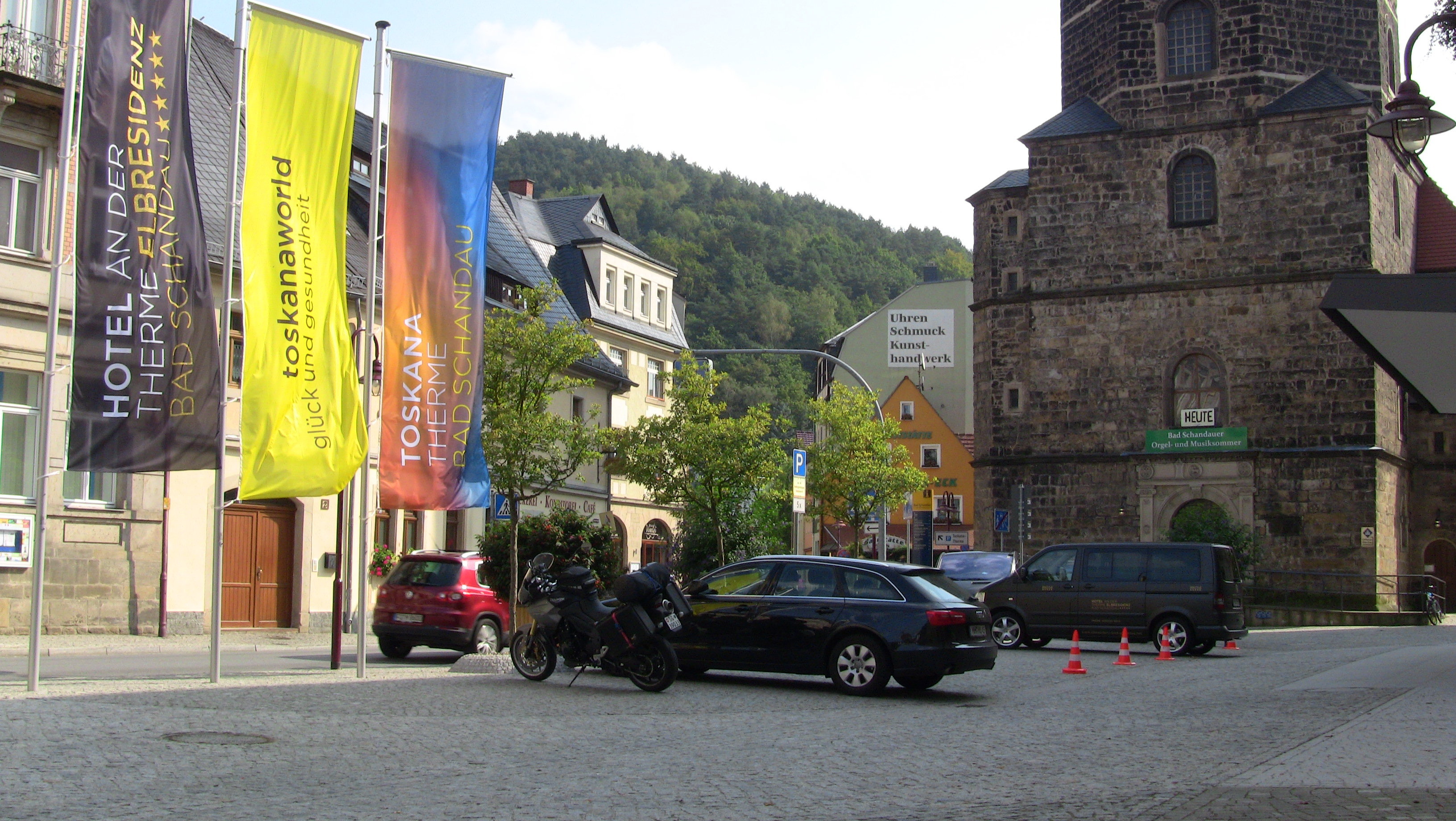
Here is a picture of
Bad Schandau on the
Elbe
river:
Soon I am out of the mountains and reach the
Neisse River near
Zittau. The last time I was in this part of
the world I drove north along the river on the German side, so today I have plotted a parallel route on the
Polish
side.
The road is so bad that after a few kilometres the oil in my shock absorbers probably has turned to butter. The
Poles top that with this road blockage after 6 kilometres - no previous warning signs showing:
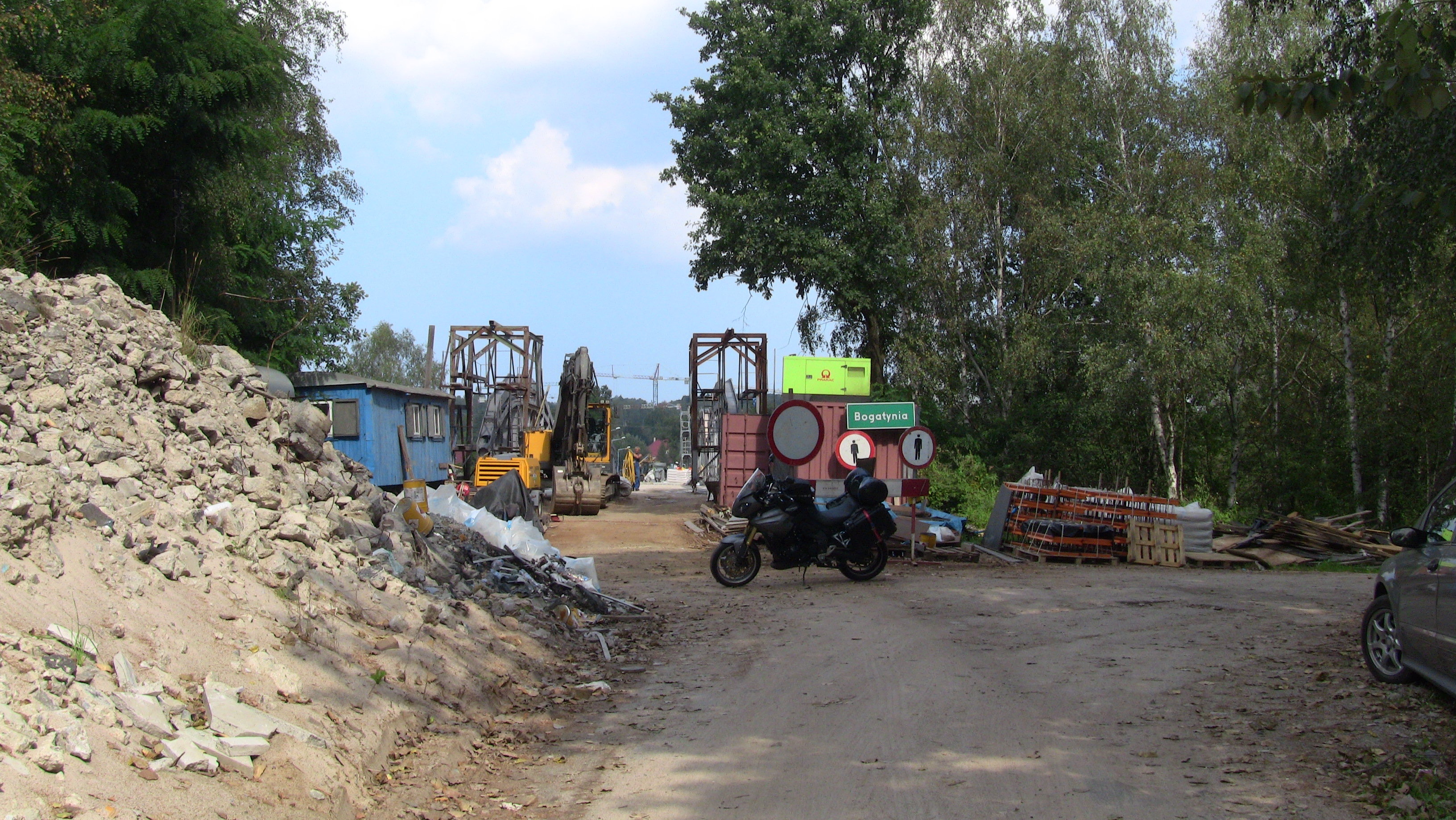
There is no way around the obstacle, I have to turn back the way I came. By the time I am again in Zittau my fork
oil probably consists of double-whipped-cream butter. Thank you Poland, I'd rather put up with every other road being closed in
Germany, at least they put up the occasional signpost about it.
So I ride north on the German side and after about another ten road closures (the last two on the last 25 km of today's
ride) I end the day after 400 km in the town of
Storkow.
Below is the usual map with my GPS tracklog.